🔍 previewing OpenForests homepage
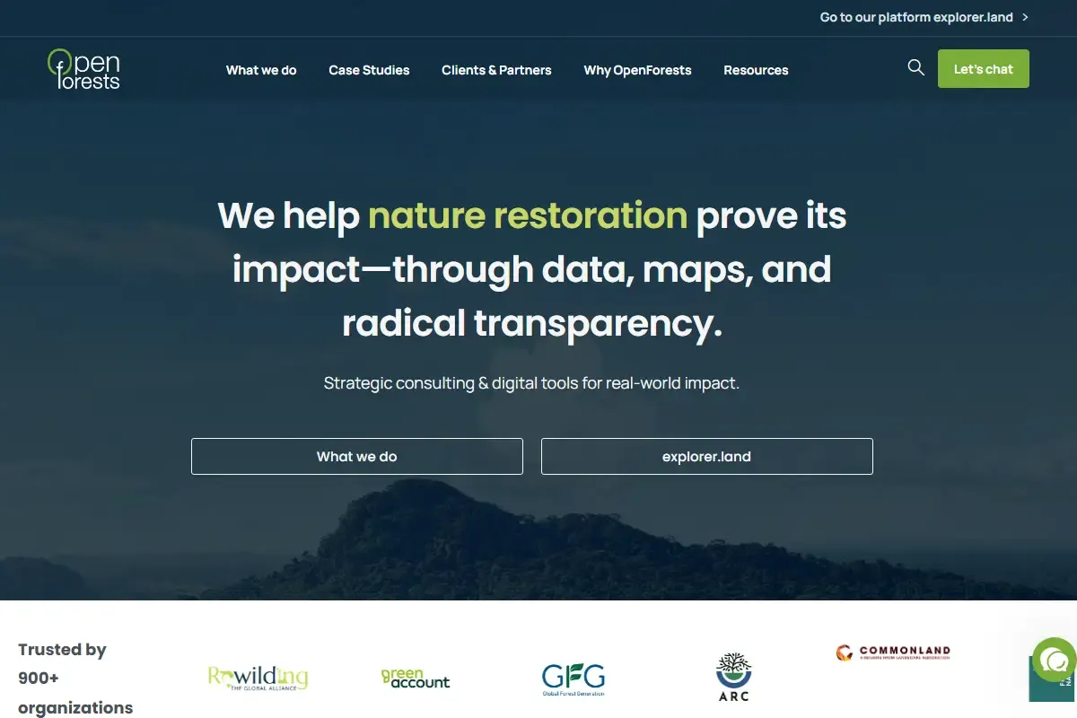
Screenshot of OpenForests homepage
View Screenshots (1)

Overview

OpenForests offers digital tools for forest project mapping, monitoring, and storytelling—empowering sustainable forestry worldwide.

OpenForests Germany is a digital solutions provider dedicated to supporting sustainable forest projects through interactive mapping, project monitoring, and impact storytelling. Its flagship platform, the Forest Information System (FIS), enables project developers, conservationists, and NGOs to visually present their work using dynamic maps, satellite imagery, and on-the-ground data.

The tool is designed to enhance transparency and communication for forest initiatives. Project managers can upload geospatial data, monitor forest health over time, and showcase progress through immersive visual dashboards. This not only improves internal decision-making but also helps attract funding and stakeholder engagement by clearly demonstrating environmental and social impact.

OpenForests integrates with GIS, remote sensing data, and AI-driven analytics, making it possible to track changes in forest cover, biodiversity, and ecosystem health with precision. Additionally, the storytelling component allows users to combine data with narratives, photos, and videos to create compelling project presentations.

The platform is already being used by reforestation initiatives, carbon offset projects, and community forestry programs across multiple continents, helping them connect with partners, investors, and the public in a transparent and engaging way.

Key Features

  • explorate Spatial Platform
  • Agroforestry Story Mapping
  • Drone GIS Integration
  • Impact Investor Dashboard

Pros & Cons

Pros

  • +
    Beautiful interactive story mapping for landscape projects
  • +
    Combines satellite, drone, and field photo data transparently
  • +
    Designed for sustainable agroforestry and cocoa/coffee projects

Cons

  • Requires active GIS data input from project managers

Frequently Asked Questions

Common questions about OpenForests

What is OpenForests?
OpenForests is OpenForests offers digital tools for forest project mapping, monitoring, and storytelling—empowering sustainable forestry worldwide.
What pricing plans does OpenForests offer?
OpenForests is offered as a free product. This means it is completely free to use without any cost barriers.
What are the main features of OpenForests?
The core features that make OpenForests stand out include:
  • explorate Spatial Platform
  • Agroforestry Story Mapping
  • Drone GIS Integration
  • Impact Investor Dashboard

User Reviews

No user reviews yet. Be the first to share your experience with this tool!

Want to review this tool?

Please sign in to share your rating and comment

Log In to Review

Quick Specs

Key metadata and impact details

Sector🌳 Reforestation
Subcategories
Pricing Model
free
Regions of Impact
Germany
Tags
digital mapping for reforestationforest storytelling platformmachine-learningblockchainsatellite-monitoringAIdigital-tools
Views
0
Back to Directory

Other Reforestation Tools

1t.org logo
🌳 Reforestation

1t.org

🌱 Non-Profit

World Economic Forum platform mobilizing companies, governments and NGOs to commit to…

1t.orggrants
Compare
AirSeed Technologies logo
🌳 Reforestation

AirSeed Technologies

free

AirSeed Technologies uses cutting-edge drones and AI to plant thousands of trees…

AirSeed Technologiesdrone reforestation technology
Compare
American Forests logo
🌳 Reforestation

American Forests

🌱 Non-Profit

American Forests restores ecosystems with native trees in North America.

NGOcorporate
Compare